The Geography of Overlapping Claims
The highest-risk hail corridor in North America runs from central Texas through Oklahoma, Kansas, Nebraska, and into South Dakota—a region that also happens to contain millions of acres of corn, soybeans, wheat, and sorghum at various stages of growth throughout the spring and summer. This overlap isn't coincidental. The atmospheric conditions that produce severe hail (strong updrafts, high CAPE values, significant wind shear) occur most frequently in the Great Plains during the exact months when crops are most vulnerable and when people are driving to and from fields, towns, and grain elevators.
In agricultural counties, the vehicle density might be lower than in urban areas, but the exposure is higher. Farm trucks sit in open fields during hailstorms. Equipment dealers have entire lots of tractors and combines under open sky. Grain elevators employ workers who park in unsheltered lots. A single hail event in Haskell County, Kansas—population roughly 4,000—could potentially generate hundreds of auto claims because many vehicles associated with agricultural operations sit outdoors during working hours. Those claim frequencies feed directly into the zip-code-level risk modeling that determines your comprehensive premium, even if you've never filed a hail claim yourself.
The timing matters more than most people realize. Crop-hail losses peak in July and August because that's when corn is tasseling and soybeans are flowering—growth stages when plants are most susceptible to physical damage. A hailstorm in April might strip leaves but allow the plant to recover. The same storm in late July destroys the reproductive structures and ends the crop's productive potential. Insurance adjusters distinguish between "total loss" hail damage (100% yield reduction) and partial damage, but the economic impact is severe either way. According to USDA National Agricultural Statistics Service reports, a severe hail event during peak growing season can reduce county-level yields significantly in affected areas, translating to tens of millions in lost crop value across a single storm path.
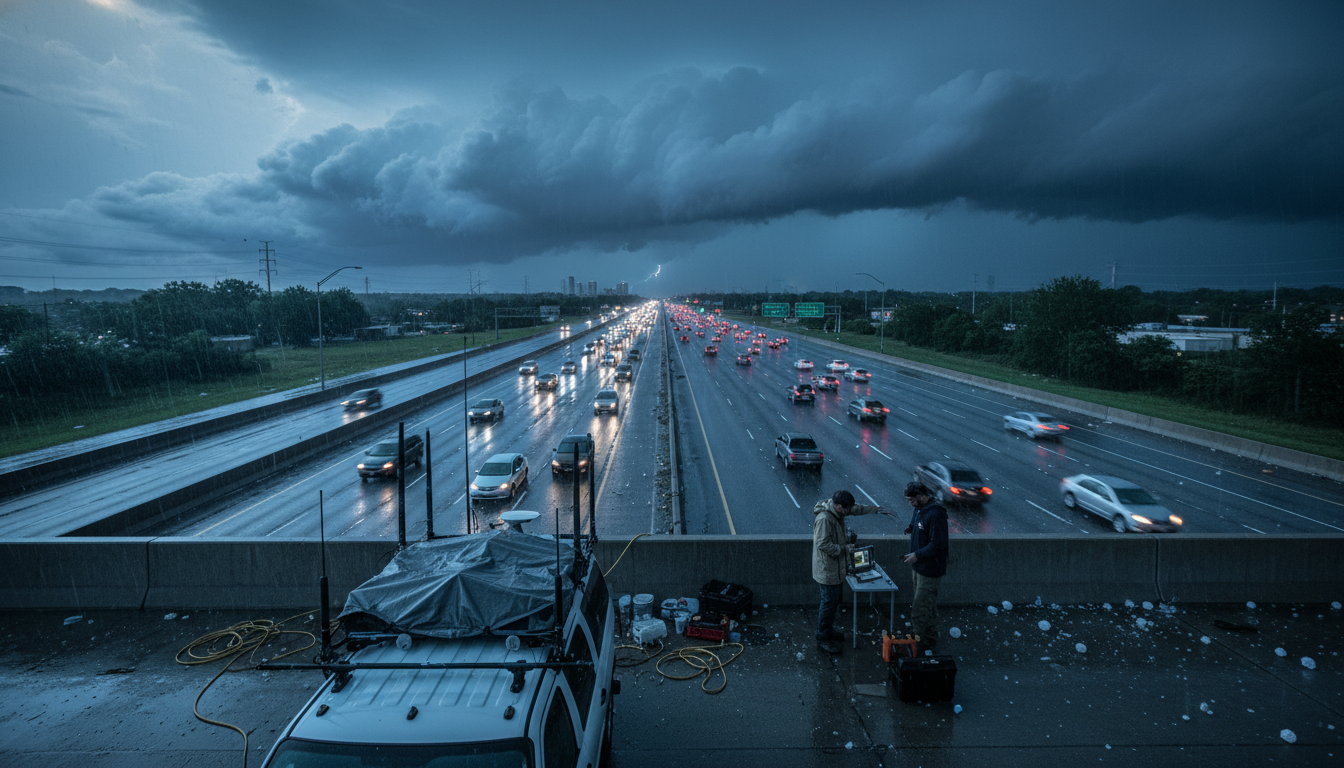
Every one of those crop claims shares a geographic footprint with vehicle claims. The same updraft that launches hailstones large enough to sever corn stalks also produces stones large enough to total a vehicle. The same storm path that destroys 5,000 acres of soybeans also impacts every car parked at the grain elevator, the farm supply store, the veterinary clinic, and the rural school. This geographic concentration creates what actuaries call "event correlation"—the tendency for multiple types of losses to occur simultaneously in the same location, which makes the overall loss more expensive than if the perils were distributed randomly.